From fog to frost: why Greater Manchester was so foggy |
The Met Office explains the early-November fog and the colder, frosty weather now arriving |
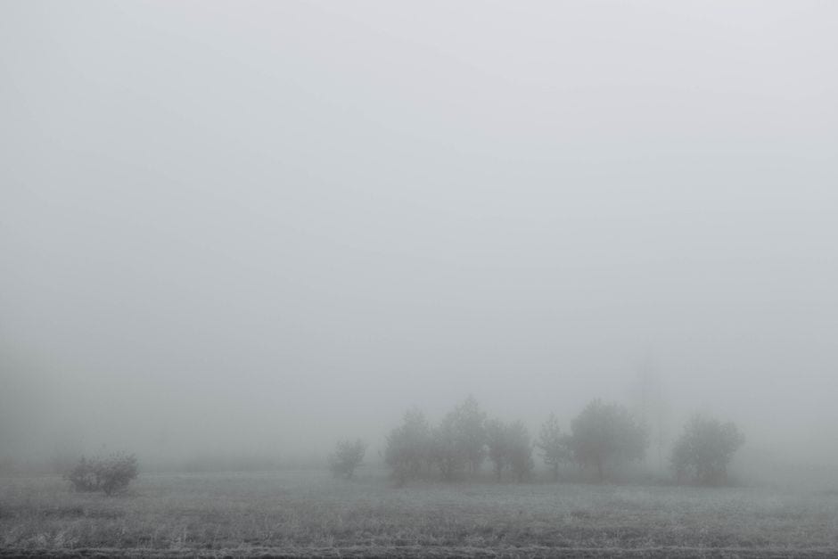
After days of fog across Greater Manchester, the Met Office says the weather is changing: the dense fog of early November is giving way to clearer skies, colder air from the Arctic and widespread frost.
The fog caused problems across the region. On Friday night (7 November), the Manchester Evening News reported that fog led to flights being diverted, obscured major fireworks displays and disrupted TV coverage of Altrincham FC's FA Cup match. Greater Manchester was then included in a Met Office yellow fog warning from Monday evening to Tuesday morning (9 to 10 November).
Why was it so foggy?
In a blog post published on Wednesday 11 November, the Met Office said high pressure dominated the UK during the first part of November. With light winds, clear spells and plenty of moisture close to the ground, temperatures fell towards the dew point overnight, and water vapour condensed into tiny droplets, forming cloud at ground level.
The Met Office added that Bonfire Night may also have played a part locally, as smoke from bonfires and fireworks adds tiny particles to the air that fog droplets can form on. It said the fog was often patchy, with one place staying clear while another a short distance away had very poor visibility.
Met Office Chief Meteorologist Jason Kelly said on 9 November: "Persistent high pressure has brought light winds and clear skies, allowing fog to form, while weak November sunshine has meant it is fairly slow to clear."
What comes next: frost
According to the Met Office, high pressure is now building to the west and north-west of the UK, bringing winds from the north and colder, drier Arctic air. That makes widespread dense fog less likely, although some mist or isolated fog patches are still possible, and frost is expected to become more widespread, with a risk of icy surfaces where showers occur.
The Met Office also said the colder spell is not being caused by the polar vortex, but by the position of high pressure and the change in wind direction.
Its North West England forecast, updated on Thursday 12 November, describes "a sunny, frosty end to the week", with a widespread frost expected tonight, particularly in sheltered valleys, and a minimum temperature of -4C.
Travel advice
When fog warnings are in force, the Met Office advises checking road conditions before driving, leaving extra time for journeys and making sure you know how to switch on your fog lights. Bus, train and air passengers should check for updates from their travel company. For the latest forecasts and any warnings, check the Met Office website.
Read more: Snow warning for Greater Manchester on Tuesday morning
Sources: Met Office blog post (11 November 2026), press release (9 November 2026) and North West England forecast (12 November 2026); reporting by the Manchester Evening News (Miranda Pell, 9 November 2026: fog explainer and warning areas). This article was produced with the help of AI tools and checked by an editor against the sources above. |
0 Comments
Join the conversation
Be the first to comment
Share your thoughts above.